 In my two previous posts I have set the scene for spatial analysis in OBI and prepared database tables.
I'm going to continue this example by preparing Tyle Layers in Map Viewer.
Oracle Fusion Middleware MapViewer enables developers to incorporate highly interactive maps and spatial analysis into business applications. A component of Oracle Fusion Middleware, it lets you combine application content with maps and data from a variety of web services and data formats. It is also fully integrated with Oracle Spatial and Graph. In addition, it is included in Oracle products such as Oracle Business Intelligence and Oracle applications such as Utilities, Transportation, and Communications.
Key MapViewer features are:
- Rich user experience and faster performance through HTML5-based JavaScript APIs
- Combine content stored in an databases, JSON and XML files with content from online web services
- Mobile support for popular iOS and late-version Android devices
- Web-based map data editor for editing spatial data stored in an Oracle Database
- Built-in support for map tiles from maps.oracle.com, HERE Maps, TomTom Maps, Bing Maps, and OpenStreetMap
- Configure data sources and
- Create Tile Layer based on Oracle Map, Google Map or similar.
Configure data sources
In my case data sources for my maps are stored in Oracle database as I explained in my previous post. To be able to use those tables, MapViewer has to be aware of them and therefore JDBC connection to the schema containing maps has to be defined.Data sources are configured in mapViewerConfig.xml configuration file. In configuration file locate the JDBC connections section and add the following entry:
<map_data_source
name= <...name of schema containing map tables...>
jdbc_host="localhost"
jdbc_sid="//pdborcl"
jdbc_port="1521"
jdbc_user="<...name of schema containing map tables...>"
jdbc_password="!<...password...>"
jdbc_mode="thin"
number_of_mappers="3"
allow_jdbc_theme_based_foi="true"
editable="false"
/>
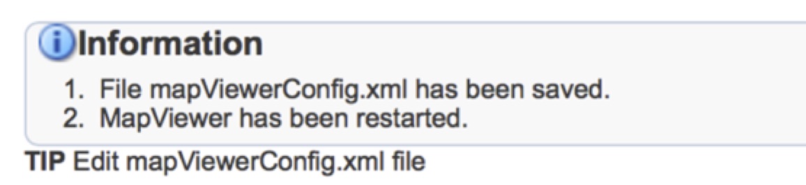
Once entered, I can click Save and Restart.
If successful, the following message displays:
I can check my data sources now. I should see a new data source in the list of existing data sources now.
Create a new Tyle Layer
When creating a new tile layer, I have to specify where the map tile images are coming from. I have option to choose one of the following options:
- Internal map source
- External map source
- Oracle Maps
- Bing Maps
- HERE Maps
- Google Maps
- TomTom
In my demo I will use Oracle Maps (they are for free). In the next step I just have to specify some basic data about my tyle layer, such as name and data source.

Once done and submitted, I can check for my new Tile Layers in the list of Tile Layers:

With this I have prepared the basics for my map layers that I have prepared in database and described in my previous post. In the next step I will create geometry themes that would corespond to MAP_PREFECTURES, MAP_CHIHO and MAP_SALES_REGIONS tables in my database. I will use another tool called Map Builder. From there on I will just have to bring those maps into OBI.